Park Gateway · Southwest · “Red Rock Country”
Moab, Utah
Sweatshirts, tees, mugs & souvenirs · Est. 1902 · 4,026 ft
Moab is a green ribbon of cottonwoods along the Colorado River with red rock in every direction and the La Sal Mountains standing snow-capped behind it, a combination that does not exist anywhere else. Delicate Arch is a short hike north of town and stands alone on a sandstone bowl like it was placed there. Dead Horse Point looks two thousand feet down at a gooseneck in the river. Island in the Sky floats above all of it. And the Slickrock Trail, the petrified dune where mountain biking more or less grew up, starts at the edge of town and climbs straight onto bare rock.
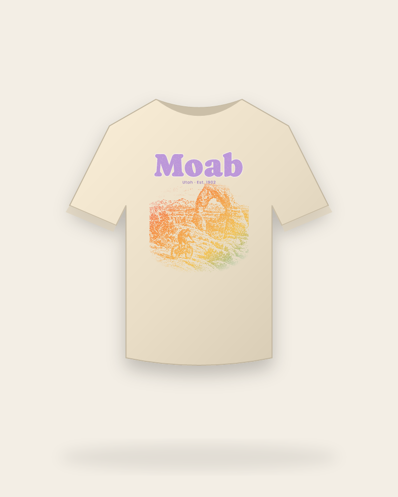
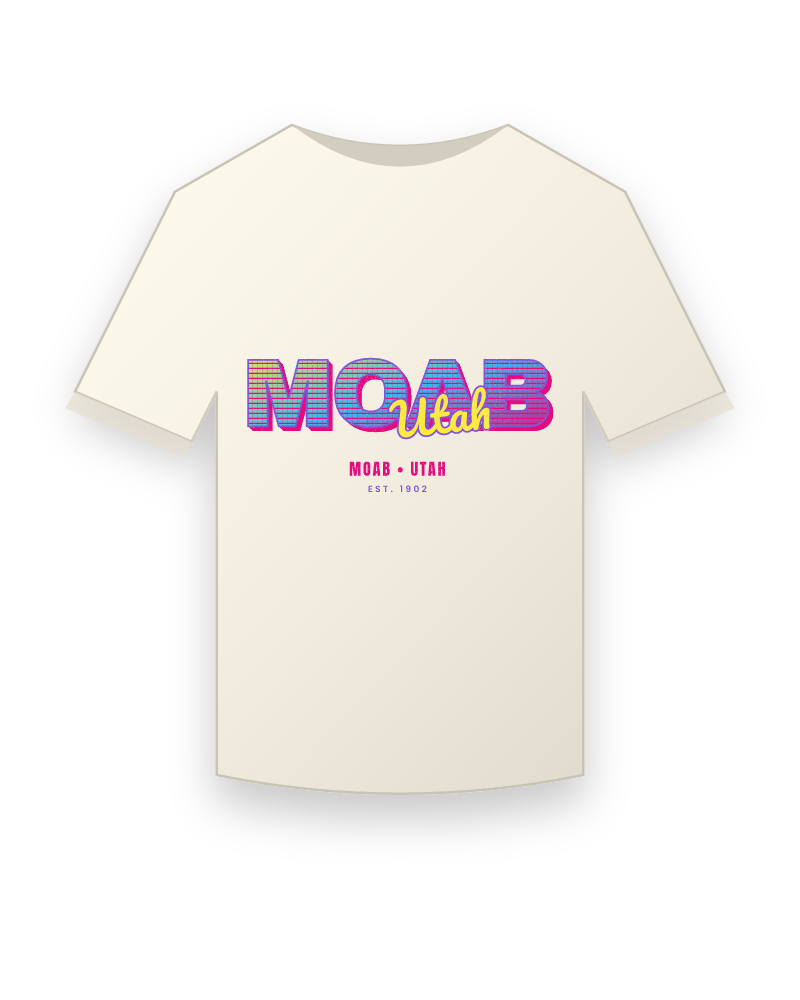
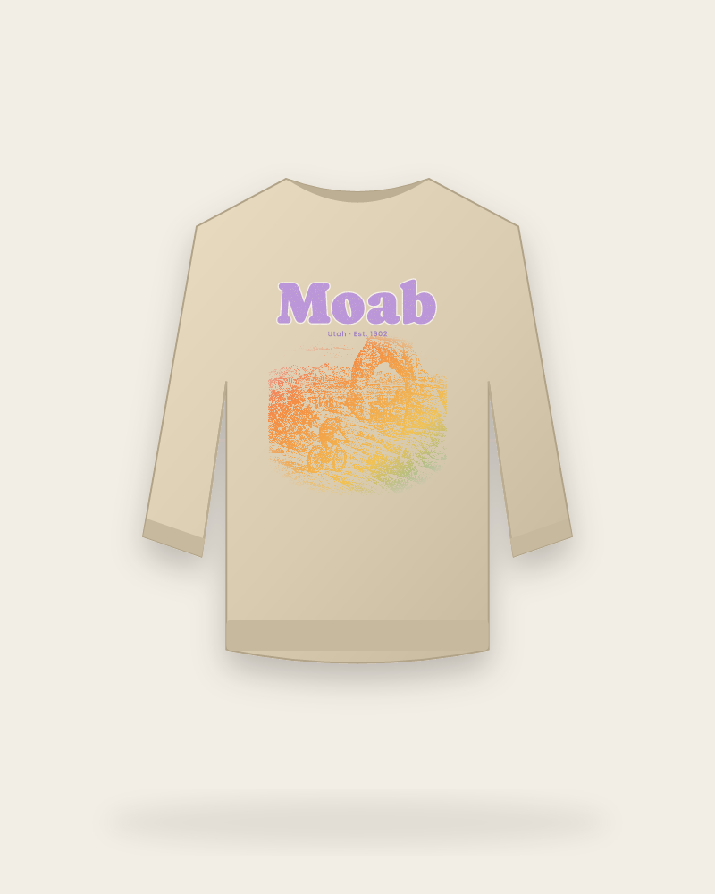
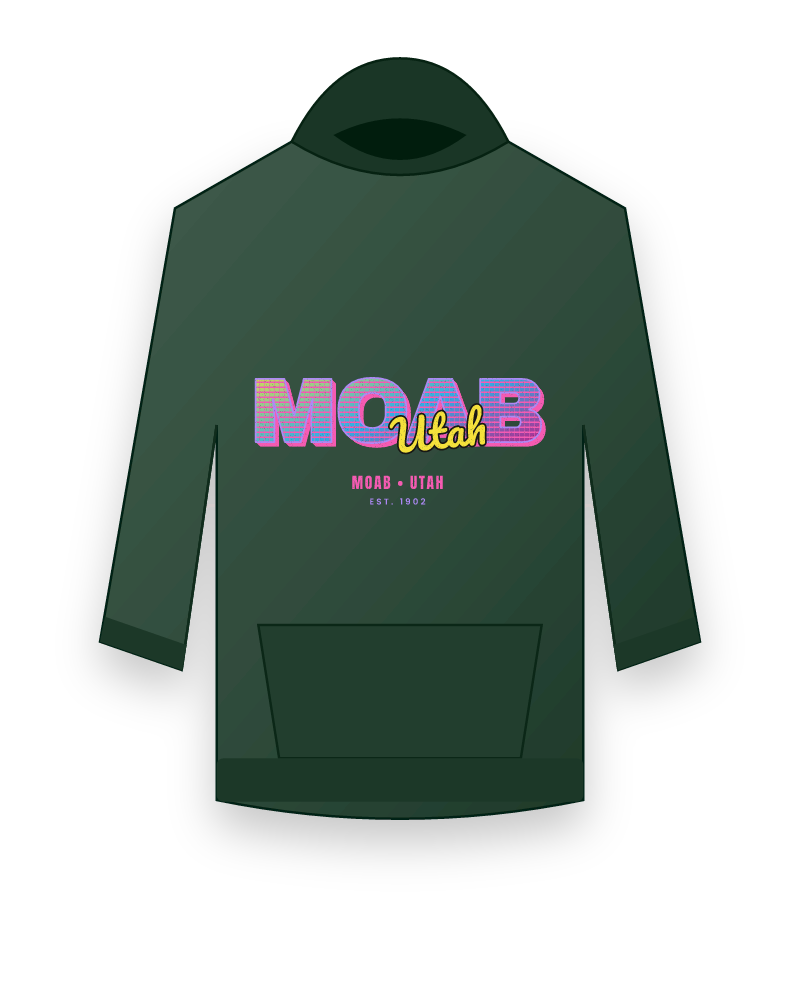
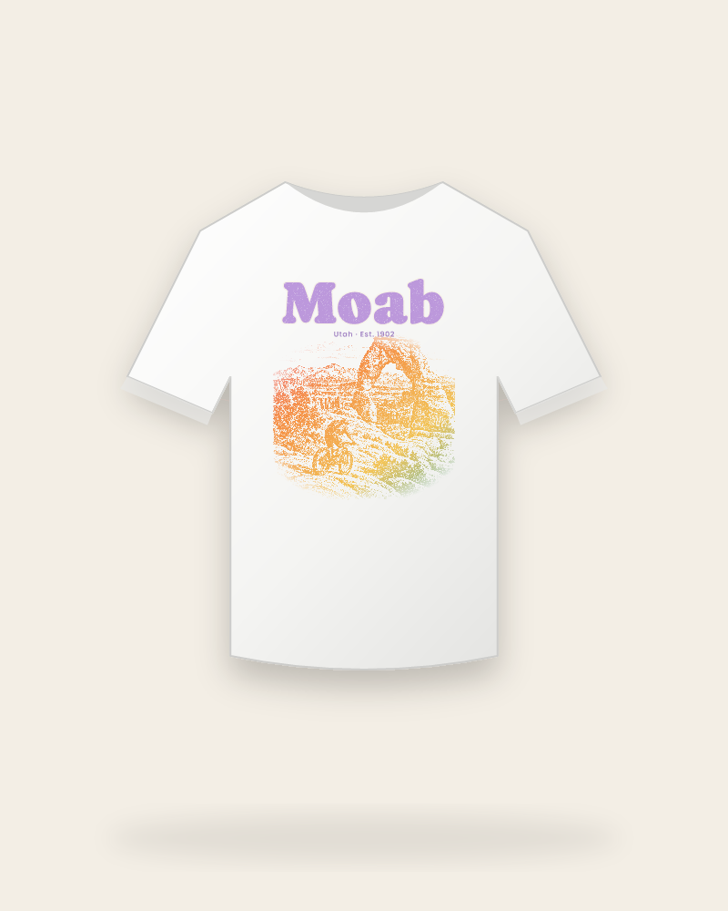
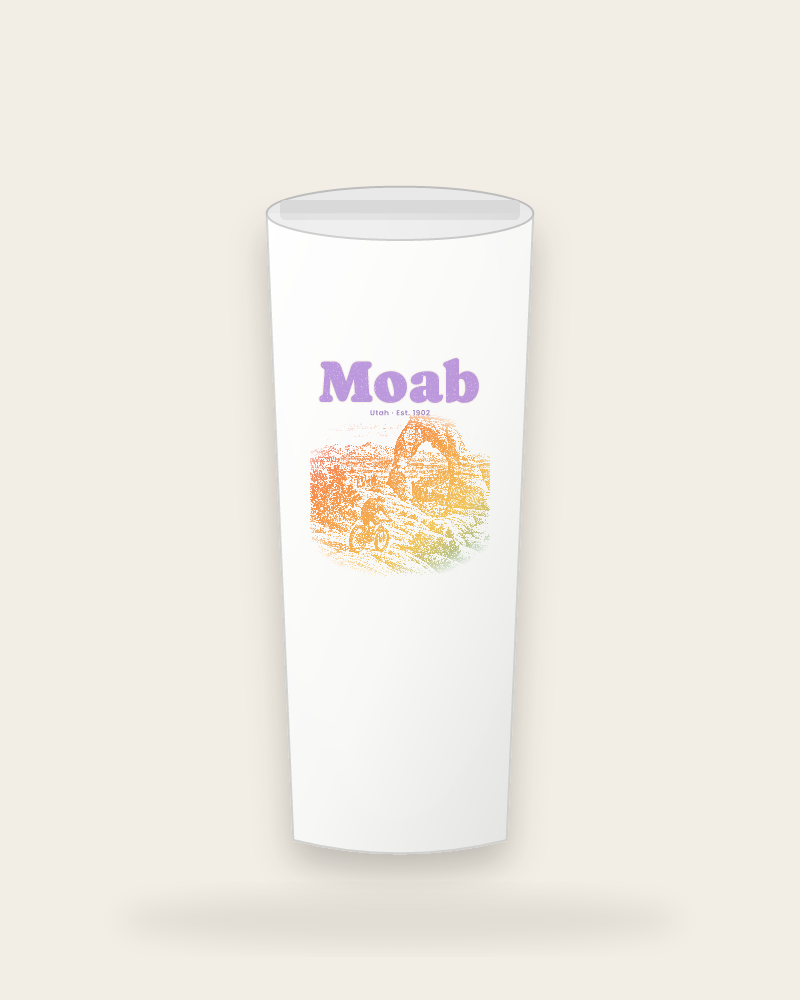
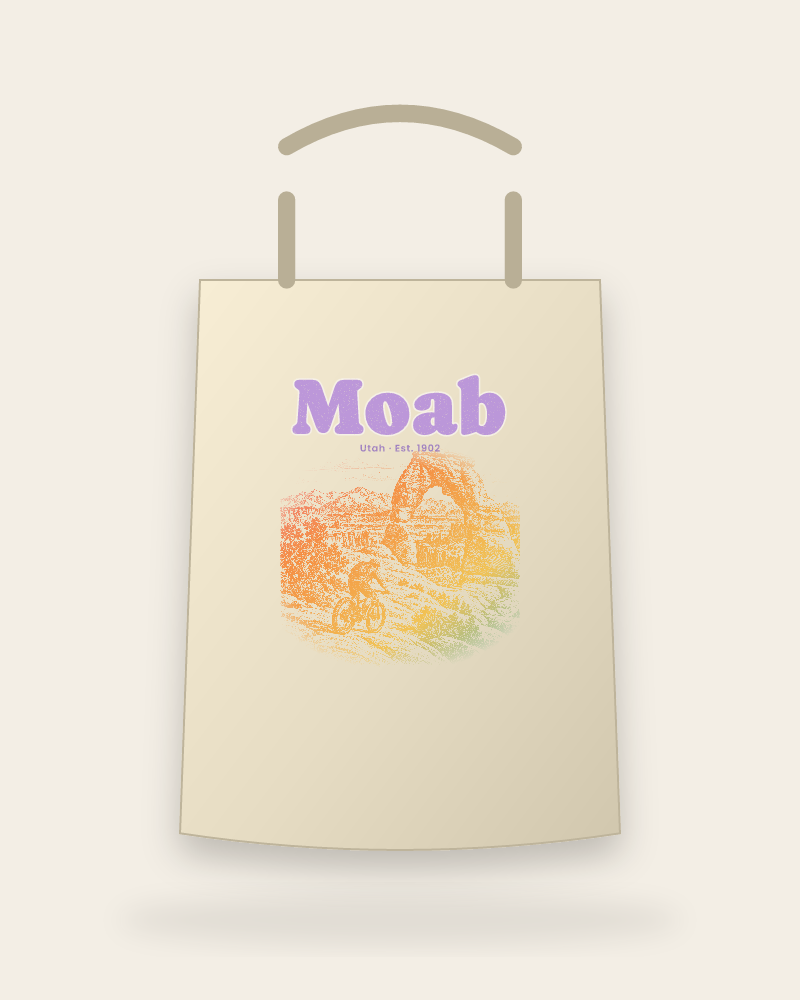
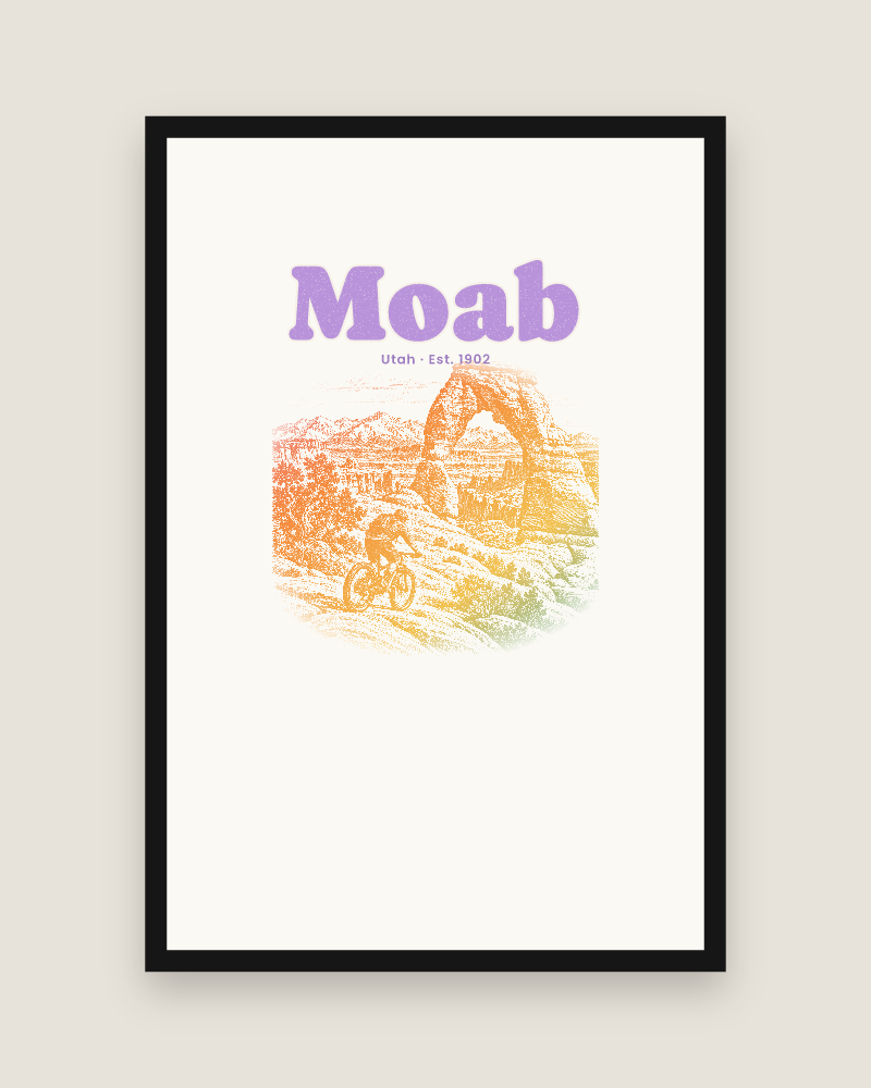
Our Moab collection is drawn from a cool morning on the slickrock. The crewneck carries a layered mesa-and-arch silhouette in rust, sand and river blue with the La Sals in the background and the town name set below in a tall, sun-bleached serif. The tee is simpler, Moab over the 1902 line with a single arch, made for a Potash Road drive at sunset and a post-ride dinner on Main Street. The mug and sticker share the mesa artwork.
Everything is original artwork, printed to order in the USA and shipped with tracking. We make it for the river guides and trail builders who live here year-round, the spring-break convoys from the Front Range, and anyone who has watched the last light hit Fisher Towers and run out of words.
Start with the artwork
The Moab designs
Apparel
Moab apparel
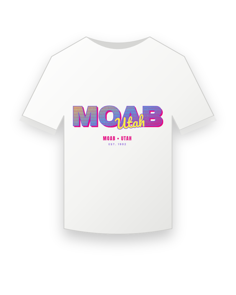
Moab T-Shirtsfrom $41.99
All t-shirts →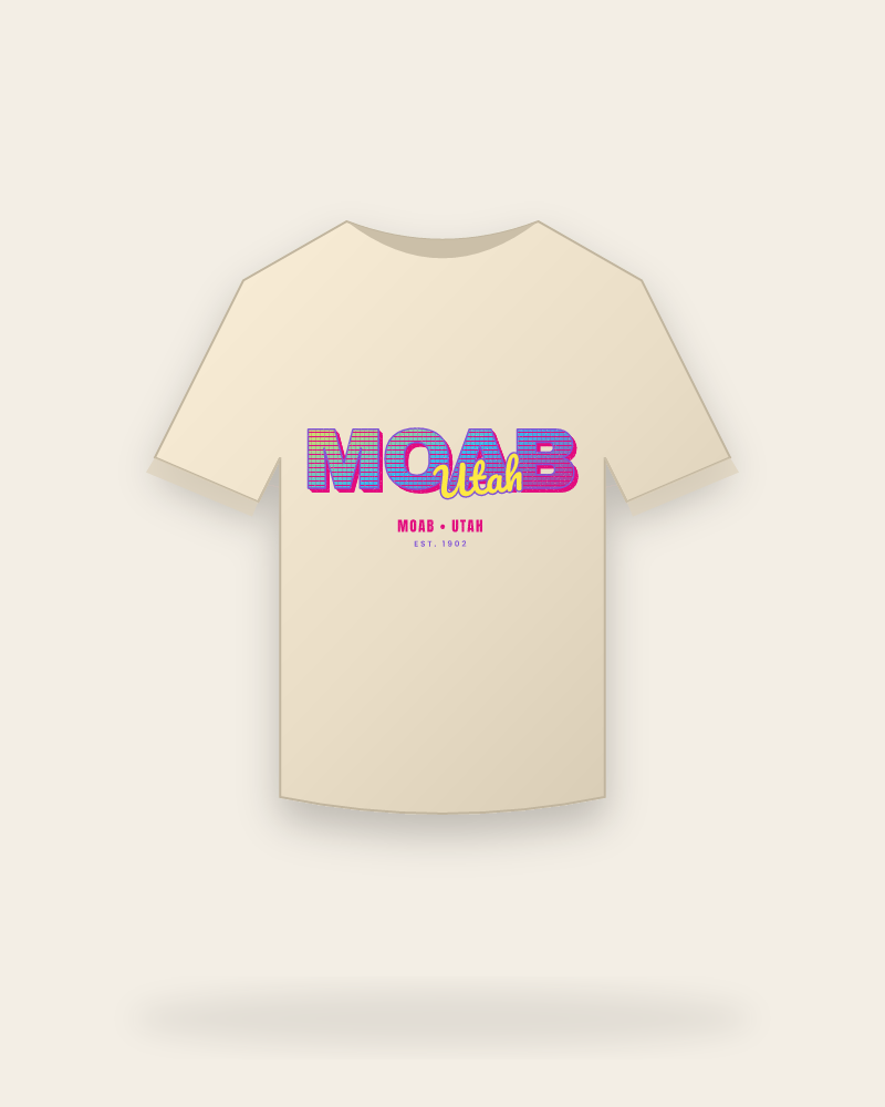
Moab Vintage Wash Teesfrom $43.99
All vintage wash tees →
Moab Organic Cotton Teesfrom $54.99
All organic cotton tees →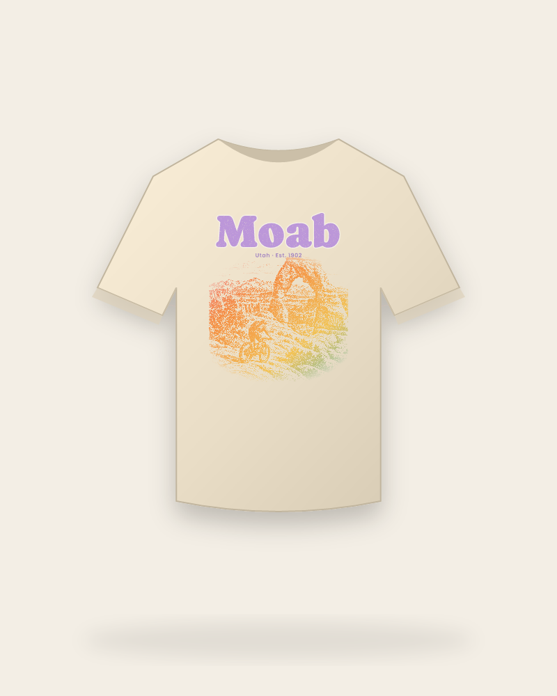
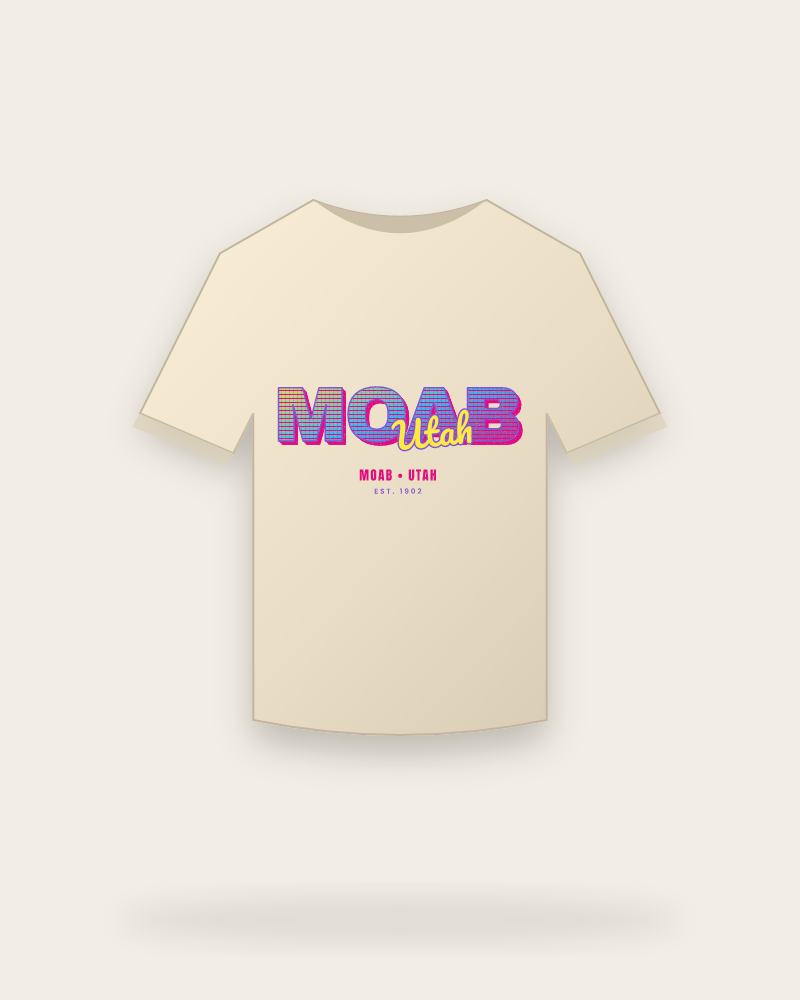
Moab Sweatshirtsfrom $59.99
All sweatshirts →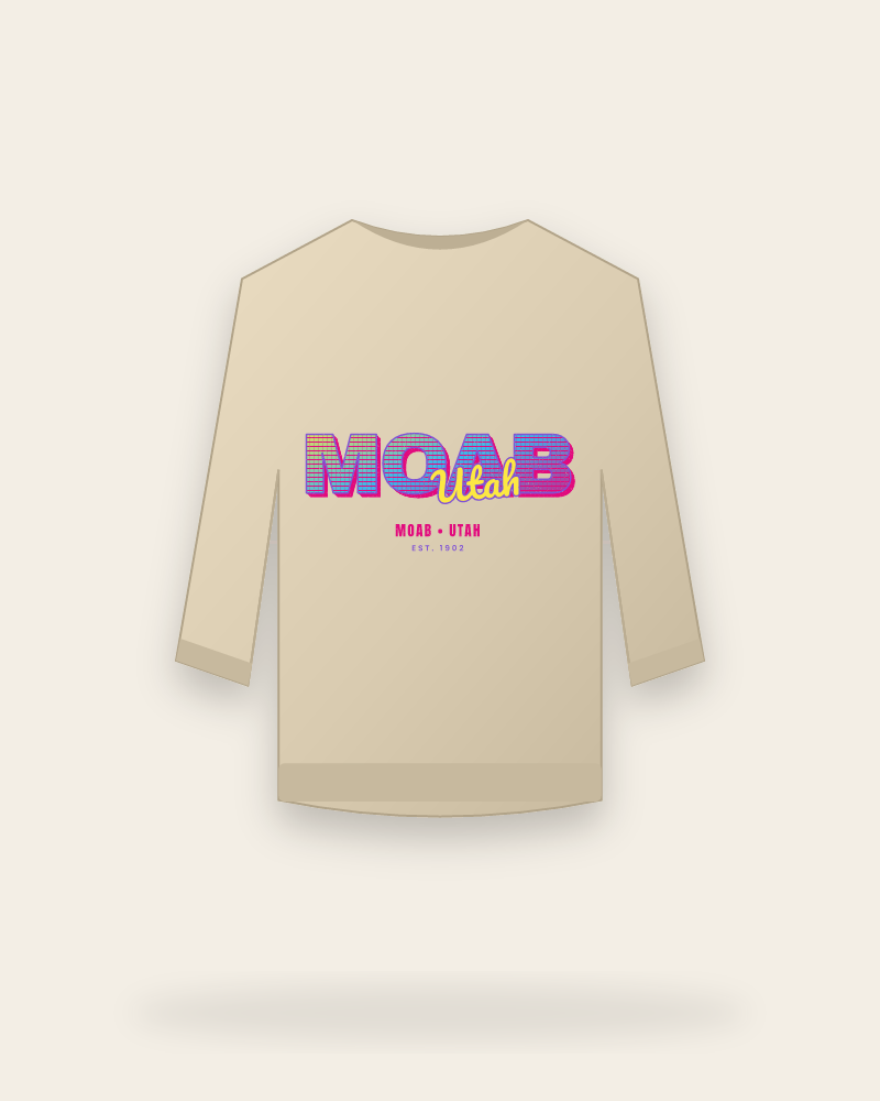
Moab Hoodiesfrom $63.99
All hoodies →
Drinkware
Moab drinkware
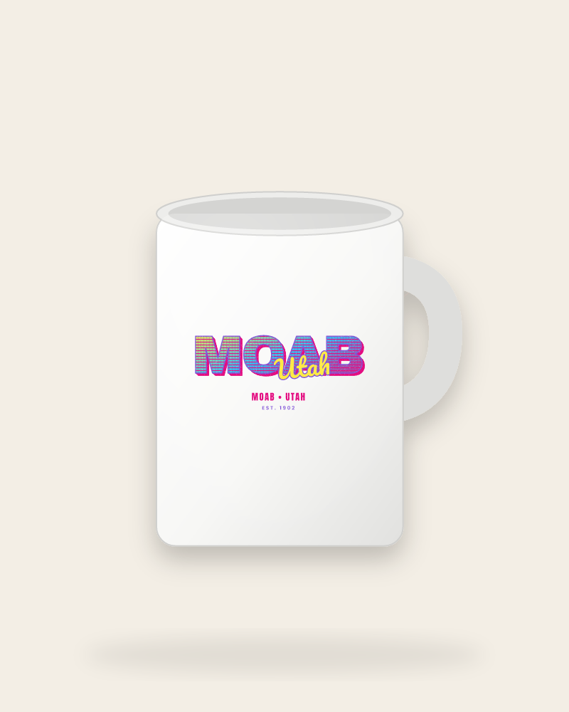
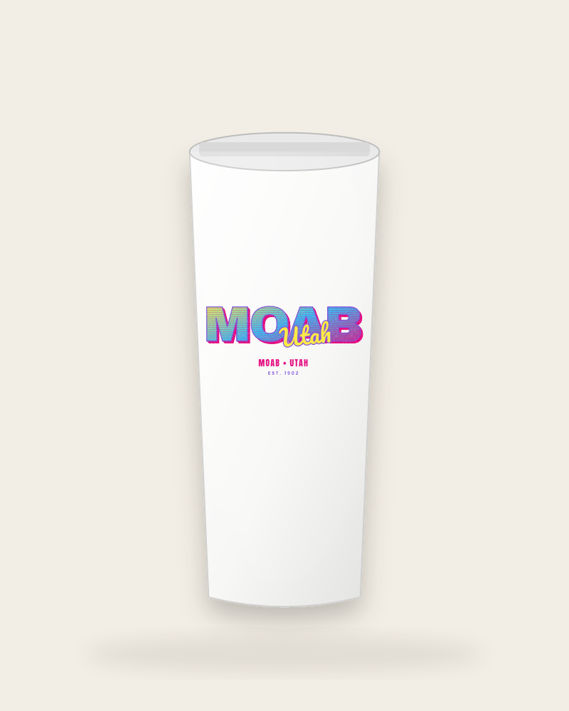
Moab Mugsfrom $37.99
All mugs →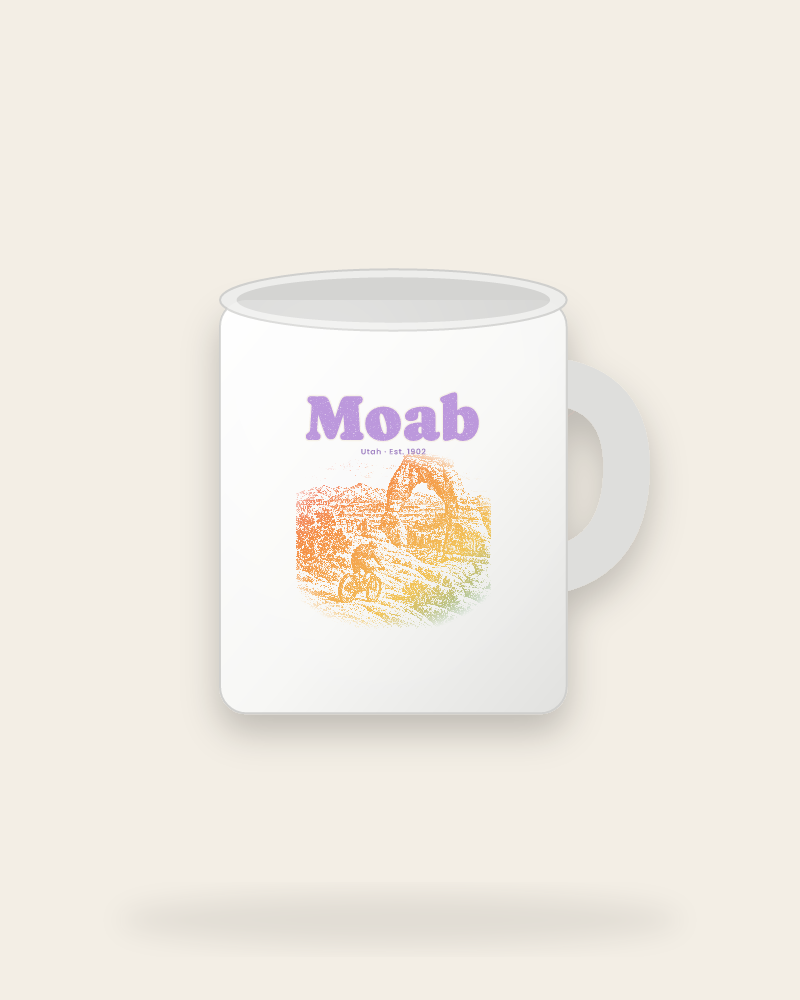
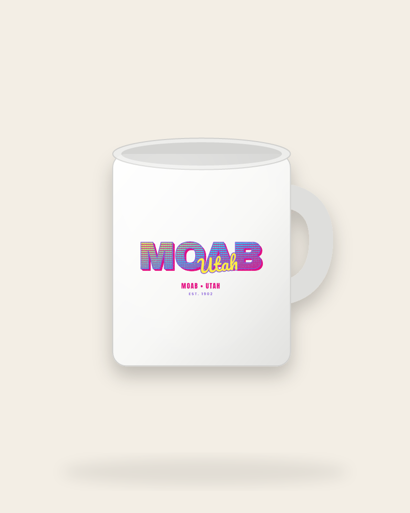
Moab Large Mugsfrom $39.99
All large mugs →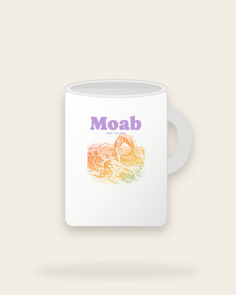
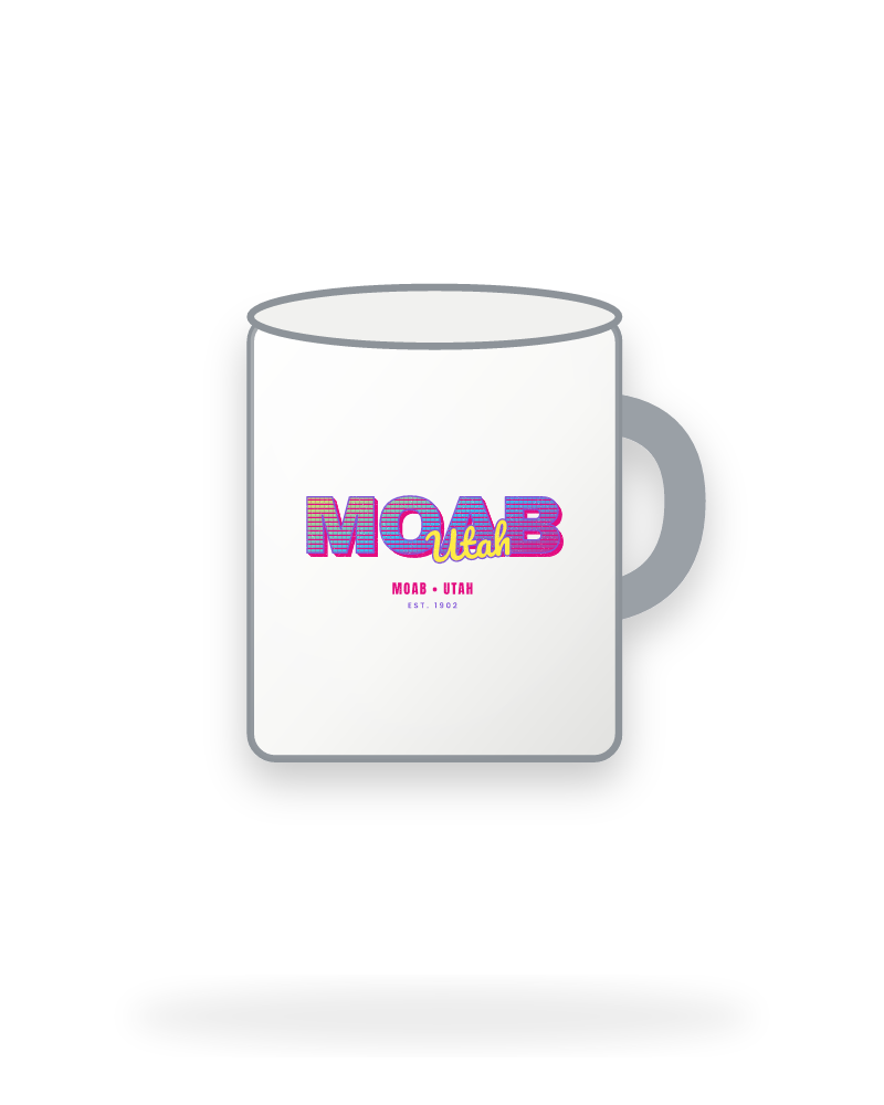
Moab Camp Mugsfrom $42.99
All camp mugs →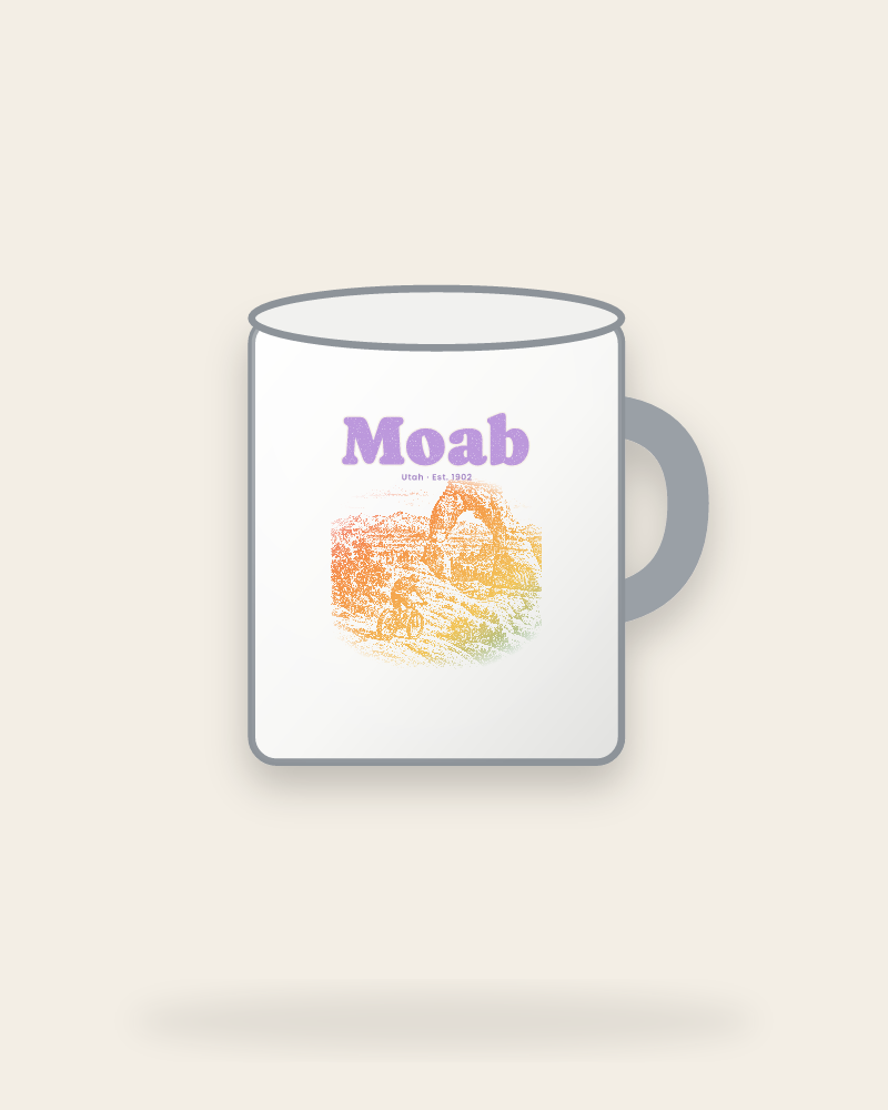
Souvenirs
Moab souvenirs
Moab Stickersfrom $28.99
All stickers →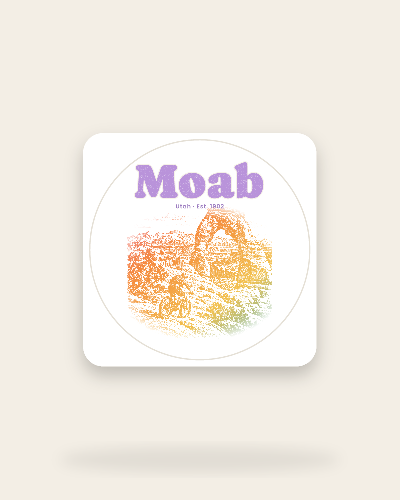
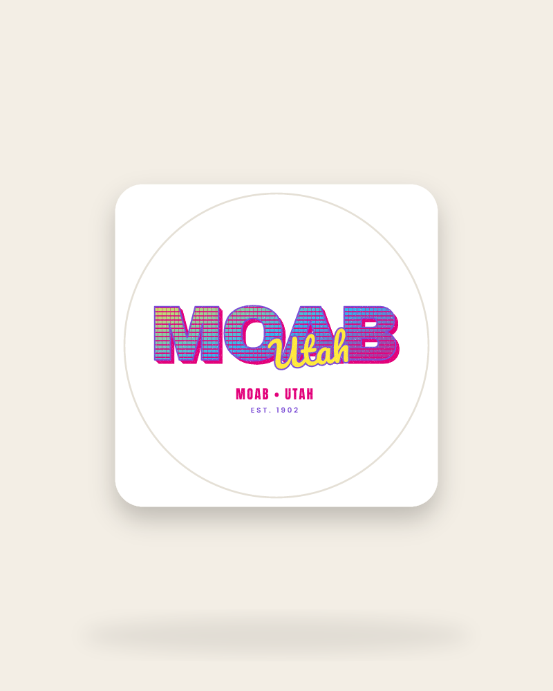
Moab Magnetsfrom $30.99
All magnets →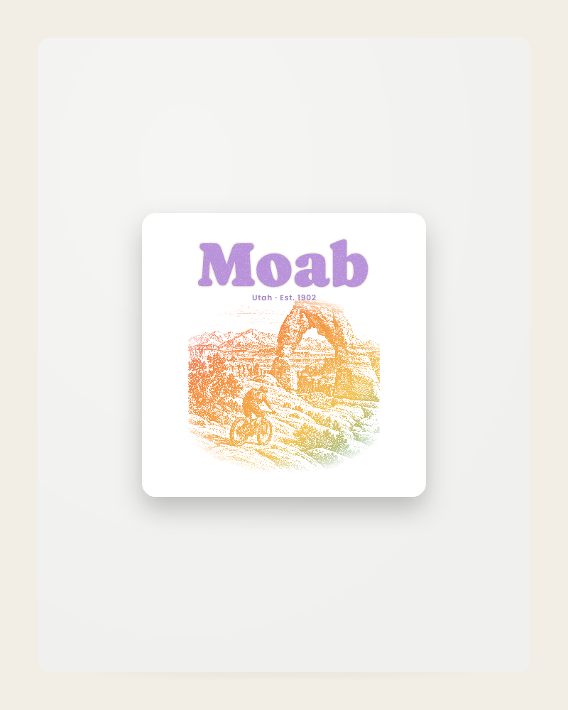
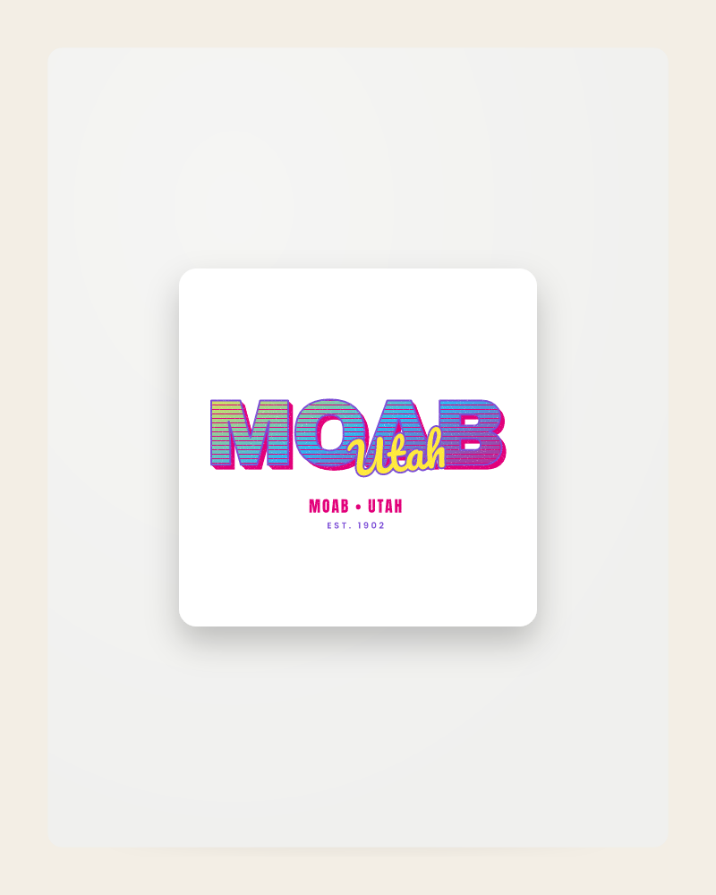
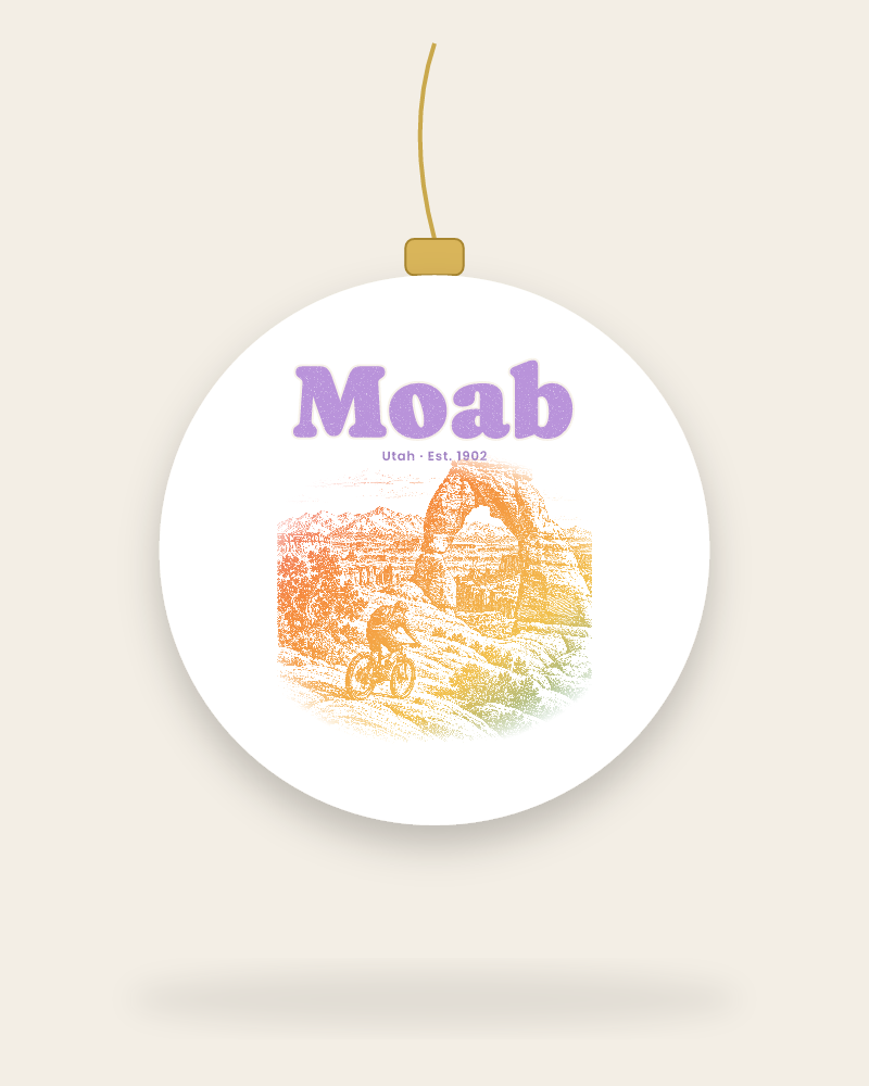
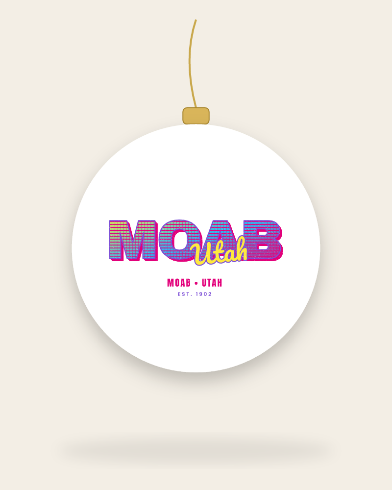
Home & Gifts
Moab home & gifts
Why we love Moab
- ✦Two national parks, one river and a snow-capped range from one small town
- ✦Slickrock is bare sandstone you can ride a bike straight up
- ✦Delicate Arch stands alone on a bowl of rock like a monument
- ✦Dead Horse Point drops two thousand feet to a bend in the Colorado
- ✦Cottonwoods, red rock and the La Sals in the same frame
Best time to go: Late March through April for cool mornings on the slickrock and cottonwoods leafing out on the river; October for warm days and snow on the La Sals.
The details on the design
- Coordinates
- 38.5733° N, 109.5498° W
- Elevation
- 4,026 ft
- Established
- 1902
- Area code
- 435
- Landmarks
- Delicate Arch, Slickrock Bike Trail, Colorado River, Dead Horse Point
- Local words
- slickrock, the La Sals, Island in the Sky, the Portal, Potash Road
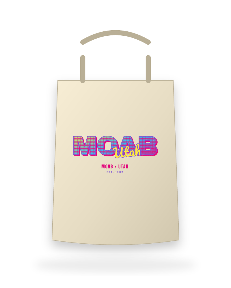
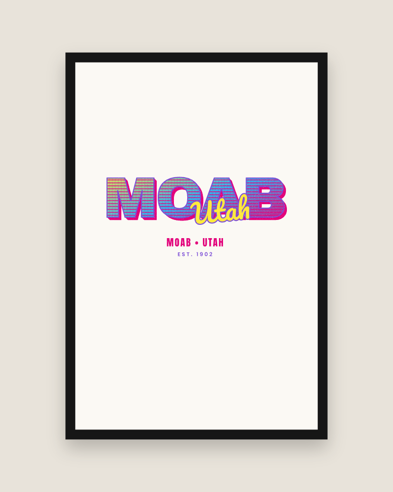
Sandstone Arch, Music TV. Independent artwork; not affiliated with the City of Moab or any local business.
Moab apparel FAQ
Are these official Arches or Canyonlands park products?+
No. Our designs are original artwork from independent designers. We are not affiliated with the National Park Service, Arches, Canyonlands, or the City of Moab.
Is the Moab tee good for desert heat?+
Yes. The standard tee is a lightweight ring-spun cotton that breathes well on the trail, and the print is water-based so it does not feel like a plastic patch. Heavier blends are listed separately on each product page.
Can you ship to Moab before a spring trip?+
Yes. Orders print in 2 to 5 business days and ship with tracking to any US address, including Moab hotels and campgrounds with a mailing address. Allow about two weeks before you leave.
Keep exploring
Near Moab
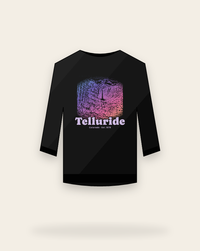
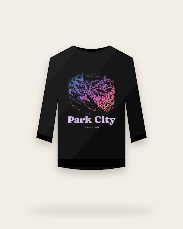
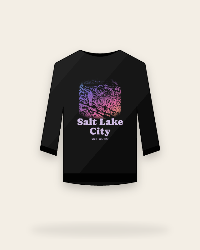
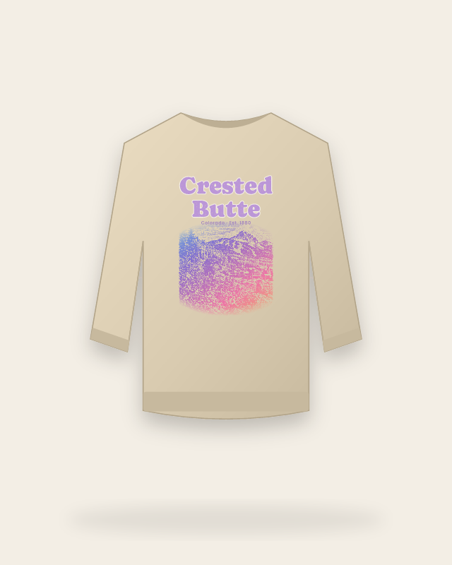
Ships in 5–16 business days
Printed to order in the USA. Tracking the moment it ships.
Reprint or refund
Misprinted, damaged or defective? Contact us within 30 days with photos so we can arrange a reprint or refund.
Made when you order
Each piece is printed after checkout, reducing finished inventory.
Secure checkout
Apple Pay, Google Pay, Link and all major cards via Stripe.